View and share E57 and LAZ point clouds
Laser scans become spaces you can walk through, with panoramas wherever the scanner took them.
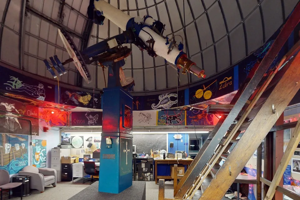 Matterport E57Loomis-Michael Observatory
E57 scans with panoramas
Most terrestrial scanners store photos with every scan.
When an E57 holds panoramic images, as exports from the Leica BLK360 and RTC360, Faro, NavVis and Matterport can, Spacery builds a tour from the calibrated photos at every scanner position. Real meters are kept, the measured points are fused into a surface model of up to 50,000 triangles, and the space has a dollhouse view.
The same scan can become a Gaussian splat instead, trained from the scan's own photos with the laser points as a starting point.
Point clouds without photos
LAS, LAZ and E57 files without images become point cloud spaces.
Each point is drawn as a small round splat, colored from the scan's RGB, or from its intensity or height when there is no color. Up to four million points are kept, thinned evenly across the scan, so the space stays smooth on a phone. Georeferenced coordinates are moved to the origin for you. PLY, PCD and XYZ point clouds work too.
Inside or outside
Interiors open where the scanner stood.
For buildings and enclosed sites, the space opens at the first scanner position, looking across the room. Exteriors and objects open in an orbit you can turn and zoom.
Matterport E57 files
A Matterport export is an E57 file too.